Blue-green infrastructure, or BGI, is a connected network of natural, adapted or man-made water bodies and green spaces in a city, arranged to imitate natural water processes such as holding and filtering rain. "Blue" covers lakes, rivers, canals and wetlands. "Green" covers parks, street trees, rain gardens and green roofs.
It works mainly at the surface. Paved cities send rain quickly into drains and rivers. BGI slows that water, stores it for a time, lets some of it soak into the ground and cleans it on the way. Parks absorb and hold rain, streets can be shaped to carry excess water away from flooded areas, and lakes and basins hold the peak until pipes can take it. Pipes do not disappear: Copenhagen's plan combines surface measures with sewers and tunnels.
The approach responds to two pressures, heavier rain and the loss of natural cover. A WRI India study of satellite images of 10 large Indian cities for 2000 to 2015 found that water cover fell by about 15% on average in every city except Ahmedabad. About 44% of new development was on land with high or very high groundwater recharge potential. The authors estimated that paving such land diverts about 300 billion litres a year from aquifers.
One project can serve several purposes. C40's account of the Copenhagen plan lists shade, air circulation, recreation and lower air and noise pollution alongside flood protection.
BGI also has limits. It needs land, which is scarce in dense districts, and building it can be costly: Rotterdam's first water square needed piling. Performance also depends on upkeep. In a Baltimore model reported this month, cleaning storm inlets was the most effective single measure, and adding green stormwater infrastructure improved on it only slightly. Cooling is modest at large scale: an IIASA study of 133 cities estimated that ambitious street greening would offset about 3% to 11% of the projected rise in peak heat stress by 2050 under current policies.
Adoption is slow as well. A 2025 review in Blue-Green Systems sorted the barriers into five linked groups: governance, finance, knowledge, social acceptance and spatial planning. Many published project figures come from cities, designers and project teams, not independent audits.
Sources: ICCAUA 2024 (definition) - C40 - India Water Portal (WRI India) - Climate Adaptation Netherlands - Phys.org (Penn State) - EurekAlert (IIASA), doi:10.1088/1748-9326/ae5c20 - Koohestani et al., doi:10.2166/bgs.2025.011
Five Functions, With Evidence
Slow. Copenhagen's plan uses streets as water-carrying boulevards.
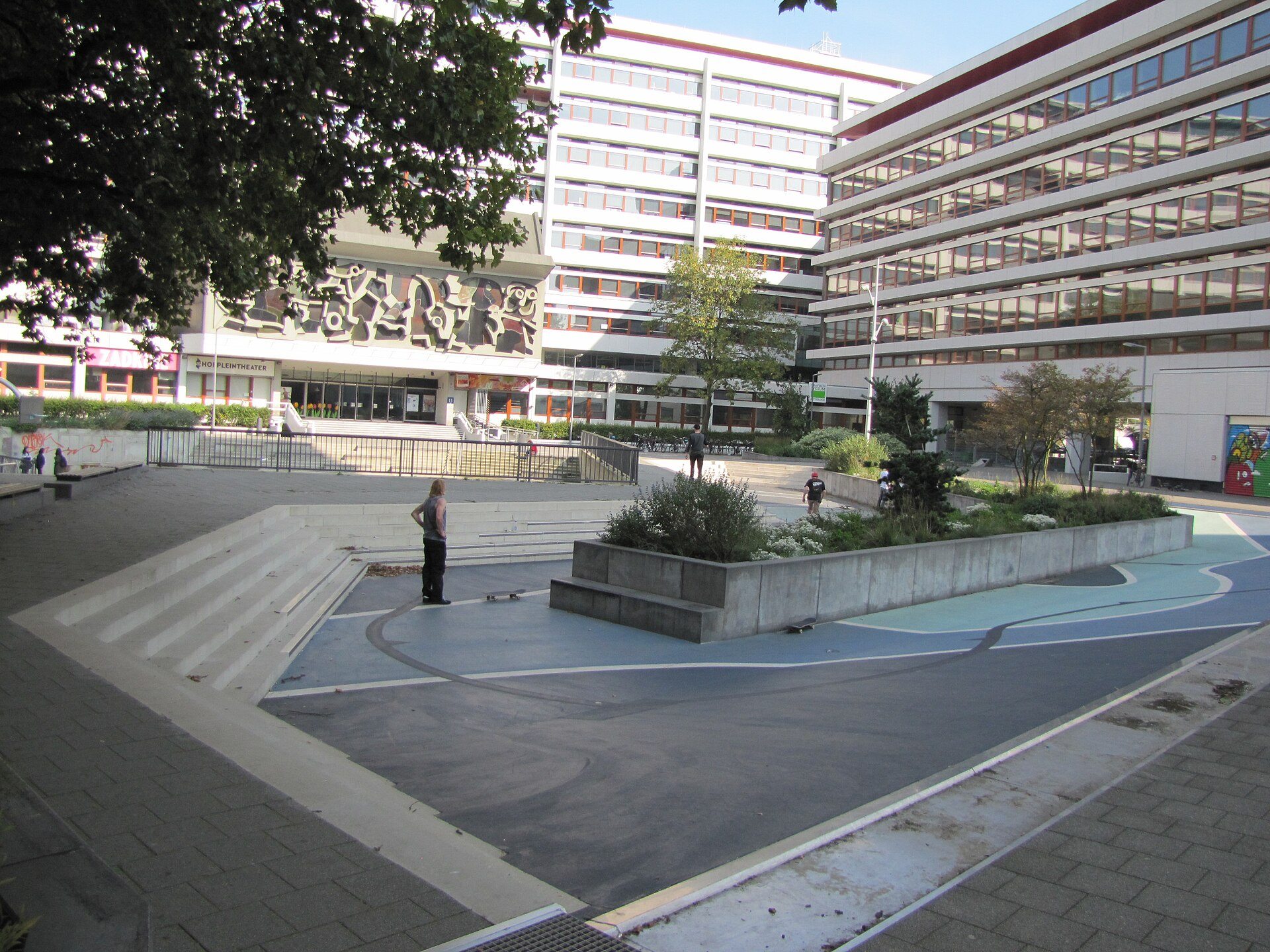
Store. Rotterdam's Benthemplein holds about 1,700-1,800 cubic metres in three basins; two shallow ones fill in any rain, a deeper one only in prolonged rain.
Soak. Copenhagen's parks are designed for storage and managed seepage.
Clean. Floating wetlands treat water in place at Nallurhalli lake.
Cool. Street greening works best in tropical and continental climates, the IIASA study found.
Dutch Water Sector - Climate Adaptation Netherlands
For Discussion
1. Where does rain go after it lands on your street, and which low-lying open space could hold it? 2. Who should pay for upkeep when one project serves drainage, parks and roads departments?